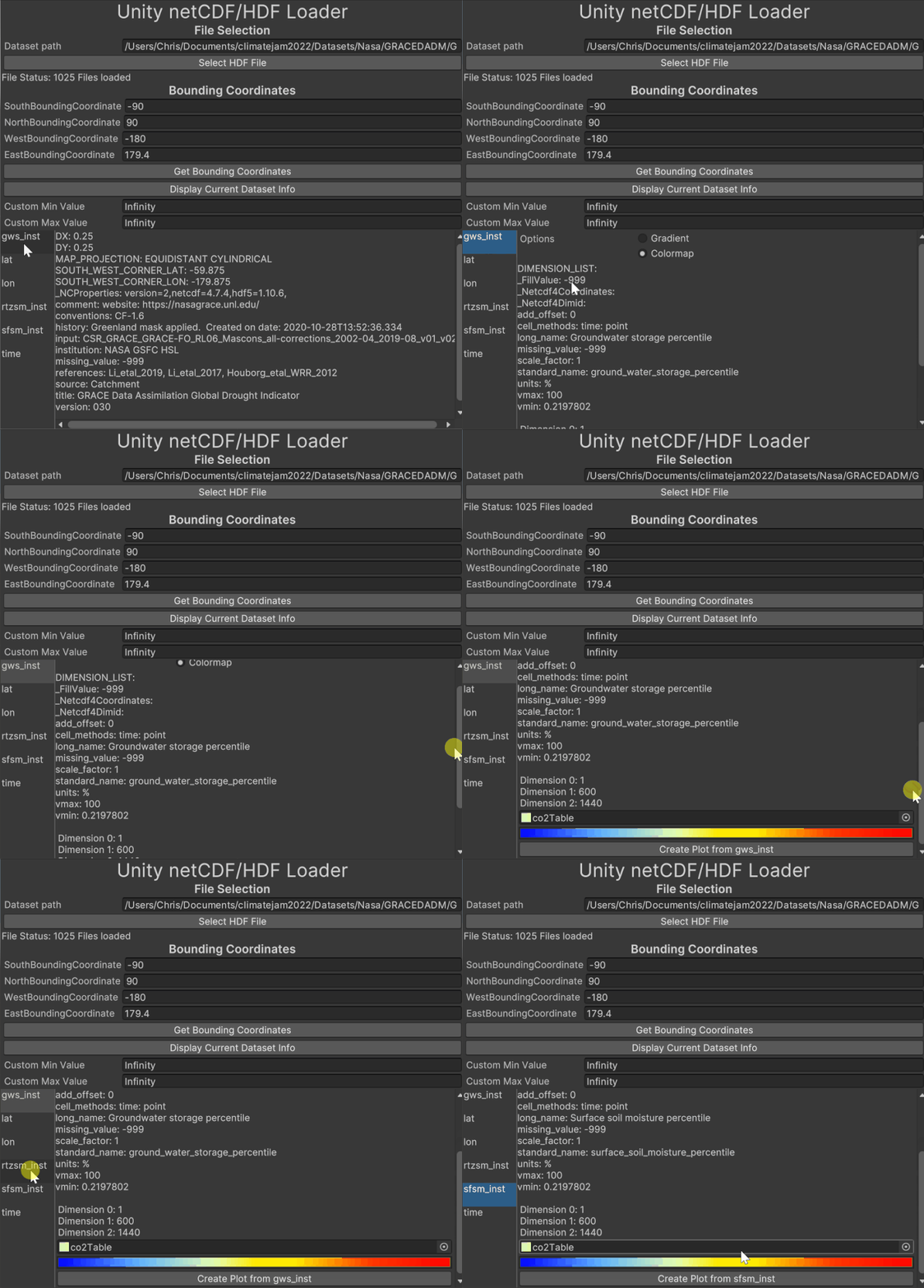
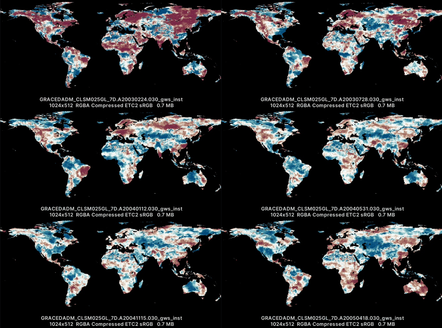
This tool reads scientific data such as Carbon Emissions and Global Temperature from NetCDF/HDF5 files and generates a map as a texture from it
Made for the IGDA Climate Change 2022 Game Jam
Unity version: 2021.3.8
Platform: Oculus Quest 2
Instructions:
- Tools>Co2Tools
- Load dataset
- Select plot from list
- Choose colorramp texture
- Choose texture path to save (serializedObject gets saved here: Assets\Tools\HdfVisualizer)
- Add the serializedObject to the “DataSetViewer” object in the main scene
Tool notes:
Only reads files that were on the same drive as the unity installation
Right now every number in a dataset gets converted to a double.
Built for datasets that are weekly, montly , etc. Datasets that use atrack/xtrack/FOV or Swath data are not supported,
Software such as Panoply use CF conventions to understand how to plot the data. For this project I only needed to read a few datasets(https://climate.nasa.gov/) so I check for certain Attributes manually.
Some datasets will need additional work to be read.
For the map Legend/Color ramp, Climatology already has a few standards using Adobe Color Tables so I made a small plugin that converts it to a texture.
Built to read following datasets:
https://disc.gsfc.nasa.gov/datasets/GRACEDADM_CLSM025GL_7D_3.0/summary?keywords=GRACEDADM_CLSM025GL https://podaac.jpl.nasa.gov/dataset/SEA_SURFACE_HEIGHT_ALT_GRIDS_L4_2SATS_5DAY_6THDEG_V_JPL2205 https://disc.gsfc.nasa.gov/datasets/SNDRAQIL3CMCCP_2/summary?keywords=SNDRAQIL3CMCCP_2 https://disc.gsfc.nasa.gov/datasets/OCO2_GEOS_L3CO2_MONTH_10r/summary?keywords=OCO2_GEOS_L3CO2_MONTH_10r
Images and more info here: https://www.chrisdougherty.games/tools/netcdfhdf-reader-for-unity

